|
 |
 |
|
Funded
in part by  |
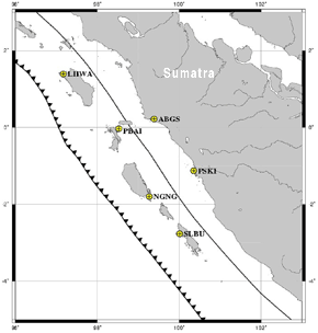
Six short-period seismic stations have been installed on Sumatra in order to better determine the locations of aftershocks of the Dec 26, 2004 and Mar 28, 2005 great earthquakes in the Sunda Trench. The sites are located as indicated in following table and figure. Each site has an L4 1-Hz vertical seismometer recorded by a Nanometerics Taurus 24-bit logger. The data are recorded on site and are retrieved at regular intervals up to 3 months apart. The instruments were installed starting May 20, 2005, co-located with GPS stations of the SuGAr array. |
|||||||||||||||||||||||||||||
|
|||||||||||||||||||||||||||||
The following people helped install this network.
|
|||||||||||||||||||||||||||||
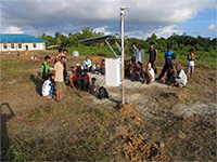
 Air Bangis station - enlarge image |
|||||||||||||||||||||||||||||
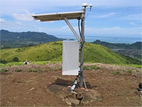
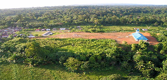 Silabu village with the station in the middle of the dirt area; blue-roofed church at right. enlarge image |
|||||||||||||||||||||||||||||