|
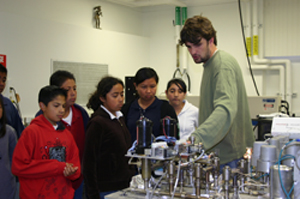
This summer (2013) the TO and Seismo Lab are hosting a high school teacher and two high school students for a summer of research, as part of Caltech's Summer Research Connection. The teacher and students are working with Professor Jennifer Jackson's group, studying mineral physics to gain insight into the interior of planets.
Last year's high school group (summer 2012), tested a new tool to make 3-dimensional models of geological field locations. They started by taking photos of various objects in the laboratory and using software to make 3-dimensional models from these photos. They then tested this approach on actual geological features at Vasquez Rocks, and presented their findings at a TO seminar on Sept 4. See slides or video (presentation starts about halfway through video)
Over the summer of 2010, the high school group studied the tectonic process of mountain building. They built a realistic model, called a “sandbox experiment,” and used it to model deformations (folds and faults) of the Earth’s crust at plate boundaries. They then ran experiments by varying the frictional properties of the system to see how that affected the deformation and mountain building process. At the conclusion, they presented their results at a Caltech seminar (slides, video) and produced a web page.
Our first group, over the summer 2009, used specialized software to create realistic maps and simulations (movie1, movie2) of the movement of the earth’s tectonic plates over the past 180 million years. At the conclusion, they gave a formal presentation (see slides or video) on their research project at a Caltech seminar series, and produced an educational web page designed for geometry students to explore rigid motion on a coordinate plane as applied to Plate Tectonics.
|