|
Connecting to Data Across the Internet in ArcCatalog
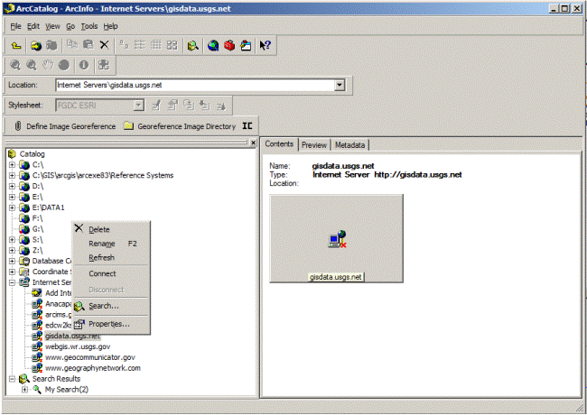
In ArcCatalog, expand Internet Servers > Add Internet Server > Type gisdata.usgs.net > click Just the following services radio button > click Add List > check the USGS_EDC_LandCover_NLCD dataset. The Internet Server explorer will open a new connection to http://gisdata.usgs.net/. Expand the Server to display the USGS_EDC_LandCover_NLCD dataset and RC on the object > Save Layer as > Save default Name. Navigate to where the data layer is stored and select the layer. In the main window, click on the Preview tab. (Give the viewer a few moments to request data from the server). A snapshot will fill the preview screen. The data which appears in the window is directly accessing the USGS data server! You can add this data to GIS projects without the overhead of downloading/storing/retrieving a dataset that is 50+ gigabytes in size!
Navigate to Internet Server
|
